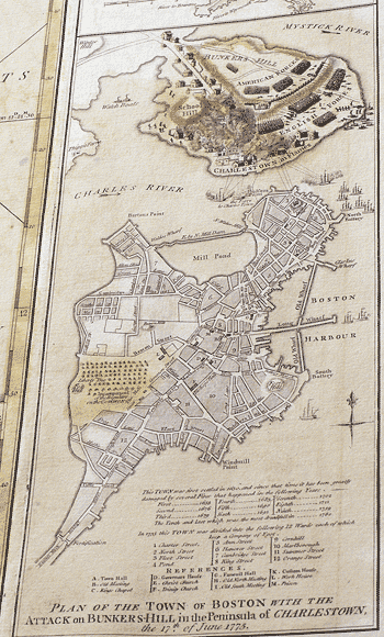
All maps ©Sterling Memorial Library Map
Collection. Map photographed by Mark Morosse.
“The Seat of War,” 1775
This copperplate map was part of George Washington's
personal collection of 44 maps covering territories of the Revolutionary War
and the French and Indian War. Their dates suggest that Washington, himself a
surveyor and cartographer, assembled and used them during his military career.
Later, the maps were bound into an atlas and kept at his library in Mount
Vernon. The founding curator of the Map Collection and his wife bought the
atlas for Yale.
This map, created by “an American
Volunteer,” depicts the Battle of Bunker Hill in fine detail. At far
right, the mapmaker has drawn “CHARLESTOWN in Flames.”

